How to use the Explore map
The Explore map is RV Roost's interactive map of 33,000+ campgrounds across the US and Canada, plus layers for attractions and free overnight parking. You don't need to plan a trip — or even sign in — to use it. This guide covers finding and inspecting campgrounds on the map.
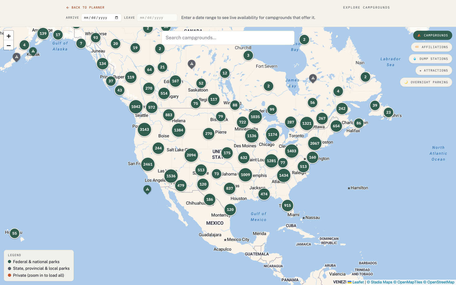
Open the map and get around
Open Explore from the site. Pan and zoom like any map. When you're zoomed out, nearby campgrounds group into clusters with a count; zoom in and the clusters break apart into individual markers.
Search for a campground
Use the search box to jump to a campground by name. It's the quickest way to check a specific place you've heard about.
Open a campground's detail card
Click a marker to open its detail card, which can include:
- Name and type — national forest, state park, private RV park, and so on.
- AI review summary, star ratings, and camper photos.
- Live availability and a direct booking link — for every federal campground (Recreation.gov) and for state parks in the 10 states RV Roost supports (California, Arizona, Florida, Minnesota, Missouri, Ohio, Virginia, Washington, Wisconsin, and Michigan).
Where the data comes from
Campground data is compiled from Recreation.gov, OpenStreetMap, and Parks Canada, so you're looking at real facilities rather than guesses.
Turn on more layers
Beyond campgrounds, the map has layers you can toggle on:
- Attractions and points of interest — see Add attractions to a trip.
- Dump stations and free overnight parking — see Dump stations and overnight parking.
And you can filter campgrounds by brand and network — see Campground filters and brand networks.
From the map into a trip
Found somewhere you like? You can add a campground from the map to a trip, then let the planner build the days around it. See Swap in a different campground.