How to use offline maps, satellite, and weather radar
RV travel has a way of leaving cell coverage behind. The RV Roost apps are built for that: download maps ahead of time, switch to a satellite view, and keep an eye on the weather. This guide covers all three, which are available in the iPhone and Android apps.
Download maps for offline navigation
Before you head somewhere without reliable signal, download the maps for that area in the app. Once downloaded, you can keep navigating even when your connection drops — the maps and directions work on-device.
Tip: download while you're on Wi-Fi (at home or at a campground) so you're not pulling large map areas over a weak cellular connection.
Switch to a satellite basemap
Toggle the satellite basemap when you want to see the actual terrain — helpful for sizing up a campground's layout, a boondocking spot, or a tight approach before you commit to it.
Check live weather radar
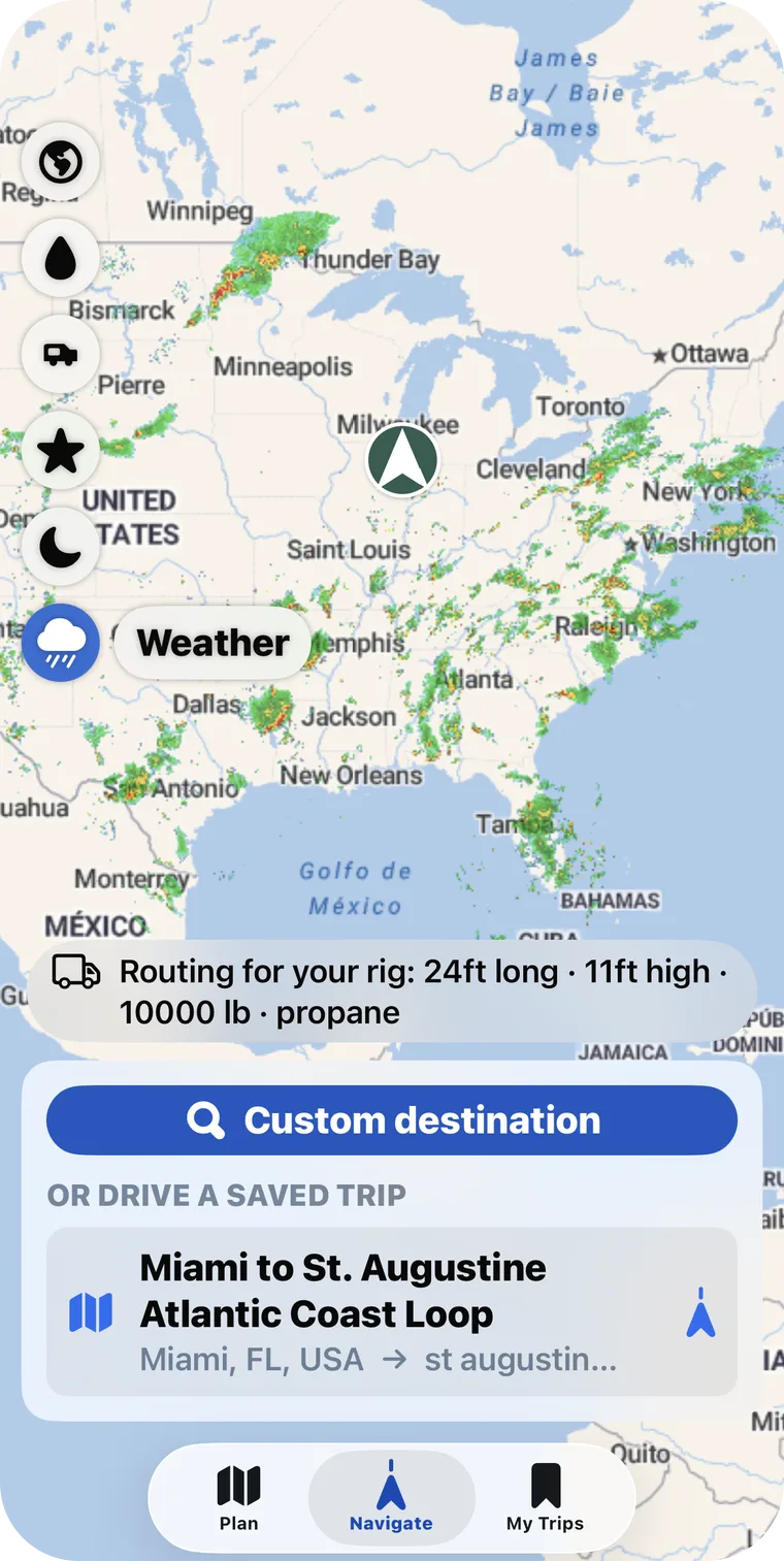
Turn on the weather radar layer to see current precipitation on the map. It's a quick way to decide whether to push on to the next stop or wait out a storm.
Plan the offline stretch ahead
If part of your route is off-grid, export a PDF as a paper backup and mark your stops as booked with notes before you lose signal, so your reservation details are on the itinerary even offline.
These features are in the iPhone and Android apps, which are part of a paid plan. See Free vs Pro plans.